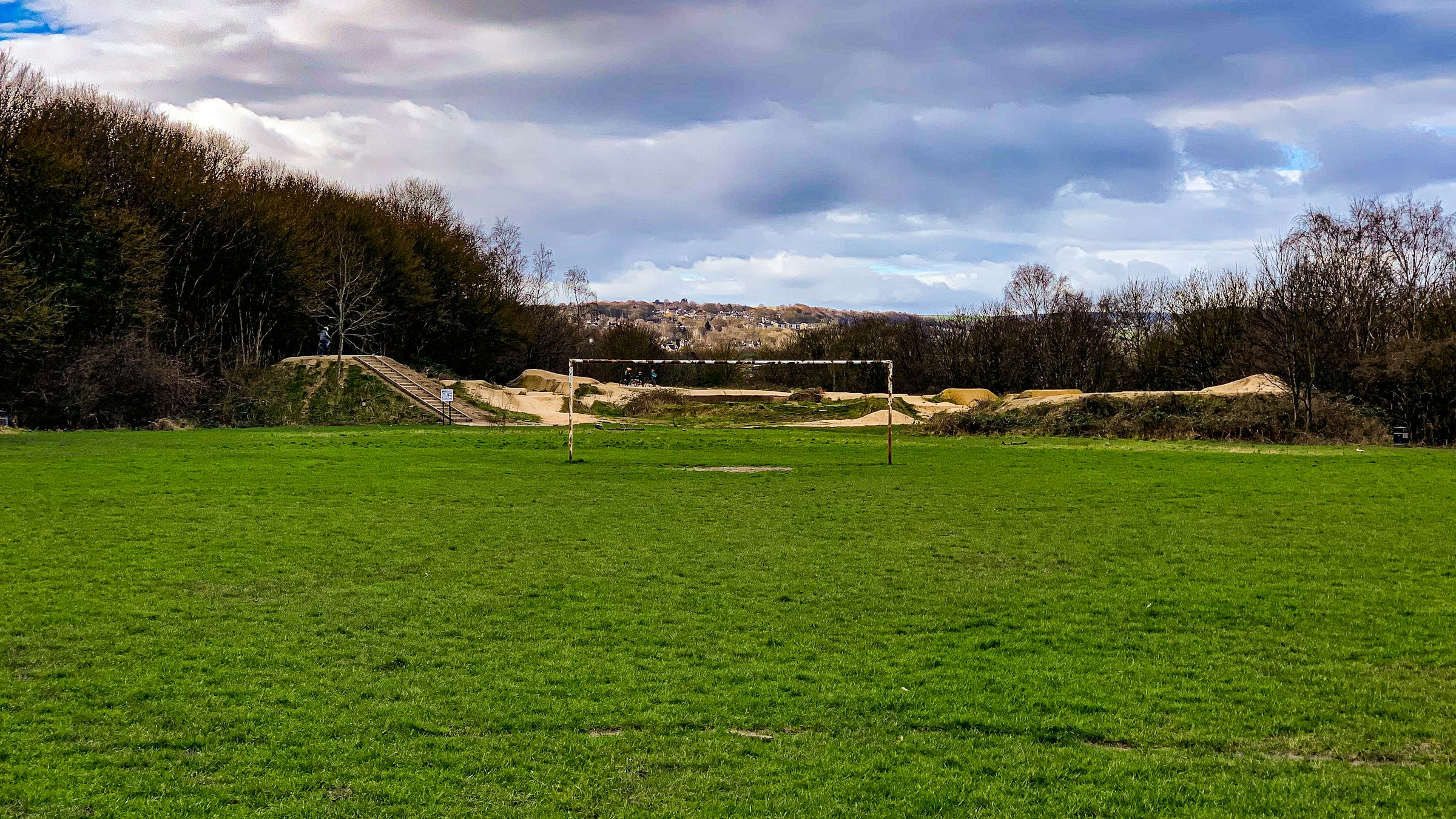
Illustrative photograph: Shane Rounce on Unsplash
15 October 2026 · 18:00 – 20:00
Sheffield United Community Foundation – PL Kicks U-Mix Thursdays
Asline Rd, Lowfield, Sheffield, UK
Experience the excitement of football at the U-Mix Centre every Thursday with our engaging Premier League Kicks session. Join us for a dynamic and friendly atmosphere where you can learn new skills and make friends! Simply turn up and get involved no matter your ability. Run by Sheffield United Community Foundation. Book with Open Sessions; times and prices are theirs.
Getting there and what to expect
Weather
- No forecast yet for this date (Weather data from MET Norway, CC BY 4.0)
- Sunset 18:10, dark from 18:45 (Sunset and dusk computed for the venue)
Getting there
- Stops: Queens Road/Guernsey Road (opp) (147 m); Shoreham Street/Alderson Road (opp) (151 m); London Road/Highfield Place (adj) (164 m) (Stops: NaPTAN, Department for Transport (OGL v3); lines: bustimes.org / Bus Open Data (OGL v3))
- Sheffield Rail Station 1.5 km away, tram at Park Grange Croft 1.0 km away (Stops: NaPTAN, Department for Transport (OGL v3); lines: bustimes.org / Bus Open Data (OGL v3))
- Parking: New Era Square 670 m (OpenStreetMap contributors (ODbL))
- Cycle parking 50 m, EV charger 570 m (ChargePoint) (OpenStreetMap contributors (ODbL))
- About 21 min walk from the city centre (1.7 km, straight-line estimate) (Straight-line estimate at 5 km/h; streets are longer)
- Open on the main map with this event pinned (Sheffield Events live map)
- Can I get there and back? Put your postcode into the tool below for the last bus and tram, the walk home, and the car parks. (Timetables: Bus Open Data Service (Department for Transport). Contains public sector information licensed under the Open Government Licence v3.0.)
Around the venue
- Air quality within WHO guideline (PM2.5 9.2, PM10 16.6 µg/m³, sensor 590 m away) (Air quality: Sensor.Community (ODbL, indicative) and DEFRA UK-AIR (OGL v3))
- Defibrillator 170 m, toilets 450 m (OpenStreetMap contributors (ODbL))
- No storm overflow discharging within 1 km (Storm overflows: Yorkshire Water (CC BY 4.0))
Can I get there and back
The last bus and tram, the walk, what is recorded about step-free access and the car parks.
- Nearest defibrillator Defibrillator 170 m away · 24/7
- Nearest toilets Toilets 450 m away
- Nearest cycle parking Cycle parking 50 m away · 10 spaces
- Nearest EV charger ChargePoint 570 m away · ChargePoint
Read about this area on Wikipedia
- Sheaf House (stadium)
- Highfield (stadium)
- Madina Mosque, Sheffield
- Mount Pleasant, Sheffield
- Olive Grove
Olive Grove was The Wednesday F.C.'s first permanent football ground, home to the club for just over a decade at the end of the 19th century.
Article titles and extracts from Wikipedia, CC BY-SA 4.0; each links to its article.
- 75 to High Green 0.5 km away
- 43 to Chesterfield 0.5 km away
- 76A to Lowedges 0.6 km away
- 51 to Charnock 0.6 km away
Around the same time
Staying over?
Make a night of it – find a place to stay near Asline Rd, Lowfield, Sheffield, UK.
- DoubleTree by Hilton Sheffield City 481 m away
- Premier Inn Sheffield City Centre (St Mary’s Gate) 886 m away
- Leonardo Hotel Sheffield 1.2 km away
- Mercure Sheffield Kenwood Hall Hotel and Spa 1.3 km away
- Novotel Sheffield Centre 1.5 km away
Also at Asline Rd, Lowfield, Sheffield, UK
You might also like
Your event memories
Check in, add a photo and build your Sheffield journey.