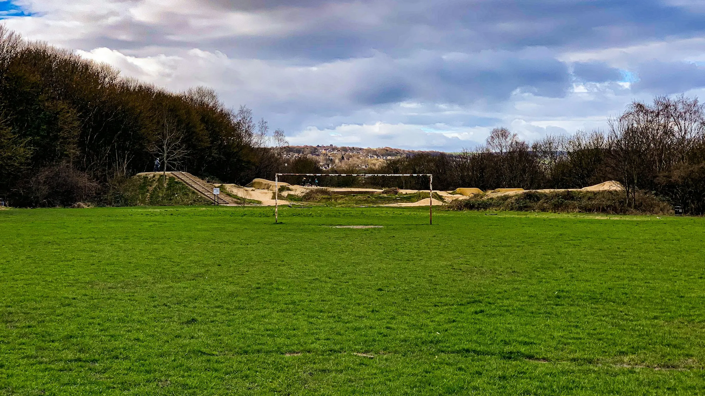
Illustrative photograph: Shane Rounce on Unsplash
15 September 2026 · 16:00 – 17:30
Sheffield United Community Foundation – PL Kicks Fir Vale
Owler Ln, Sheffield, UK
Experience the excitement of friendly football matches every Tuesday with Sheffield United Community Foundation! Join us for a session filled with energy, teamwork, and skill-building. Simply turn up and get involved! Run by Sheffield United Community Foundation. Book with Open Sessions; times and prices are theirs.
Getting there and what to expect
Getting there
- Stops: Page Hall Road/Rushby Street (opp) (82 m); Page Hall Road/Barretta Street (adj) (125 m); Owler Lane/Dunmow Road (opp) (158 m) (Stops: NaPTAN, Department for Transport (OGL v3); lines: bustimes.org / Bus Open Data (OGL v3))
- Medowhall Rail Station 2.2 km away, tram at Arena/ Legacy Park 1.9 km away (Stops: NaPTAN, Department for Transport (OGL v3); lines: bustimes.org / Bus Open Data (OGL v3))
- Parking: Car park 920 m (OpenStreetMap contributors (ODbL))
- On the roads within 1 km: Road closed: Closed; Road closed: Closed; Road closed B6082: Closed (Traffic: TomTom)
- About 42 min walk from the city centre (3.4 km, straight-line estimate) (Straight-line estimate at 5 km/h; streets are longer)
- Open on the main map with this event pinned (Sheffield Events live map)
- Can I get there and back? Put your postcode into the tool below for the last bus and tram, the walk home, and the car parks. (Timetables: Bus Open Data Service (Department for Transport). Contains public sector information licensed under the Open Government Licence v3.0.)
Around the venue
- Air quality within WHO guideline at DEFRA Barnsley Road (830 m away) (Air quality: Sensor.Community (ODbL, indicative) and DEFRA UK-AIR (OGL v3))
- Road noise at the venue: 70 to 75 dB (Road noise: Defra strategic noise mapping 2017 (OGL v3))
- Defibrillator 40 m (OpenStreetMap contributors (ODbL))
- No storm overflow discharging within 1 km (Storm overflows: Yorkshire Water (CC BY 4.0))
Can I get there and back
The last bus and tram, the walk, what is recorded about step-free access and the car parks.
- Nearest defibrillator Defibrillator 40 m away · 24/7
- Nearest toilets Toilets 1.6 km away
- Nearest cycle parking Cycle parking 580 m away · 6 spaces
- Nearest EV charger EV charger 1.3 km away
Read about this area on Wikipedia
- Sheffield Brightside
Sheffield, Brightside was a parliamentary constituency in the City of Sheffield.
- Fir Vale School
- Page Hall
- Sheffield Brightside and Hillsborough
Sheffield Brightside and Hillsborough is a constituency represented in the House of Commons of the UK Parliament since 2016 by Gill Furniss, a member of the Labour Party.
- 2016 Sheffield Brightside and Hillsborough by-election
Article titles and extracts from Wikipedia, CC BY-SA 4.0; each links to its article.
- 47 to Shiregreen 1.2 km away, 2 min early
- 76E to Meadowhall 1.5 km away, on time
- 2A to Sheffield Centre 1.7 km away, 2 min early
- 83 to Chapeltown 1.7 km away, on time
Around the same time
Staying over?
Make a night of it – find a place to stay near Owler Ln, Sheffield, UK.
- Premier Inn Sheffield (Arena) 1.6 km away
- ibis budget Sheffield Arena 1.6 km away
- Crowne Plaza Royal Victoria Sheffield 2.5 km away
- Nights Inn Bar and Rooms 2.6 km away
- Houseboat Hotels 2.6 km away
You might also like
Your event memories
Check in, add a photo and build your Sheffield journey.