31 October 2026 · 14:00
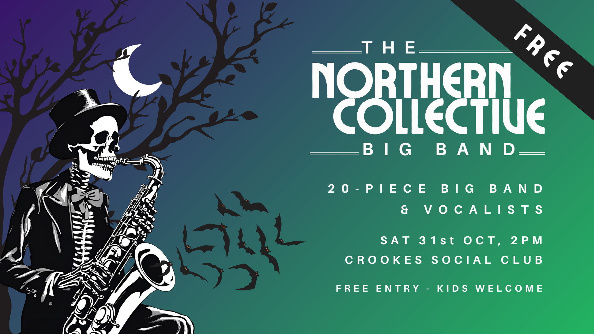
Halloween Big Band Family Boogie
Mulehouse Road, Sheffield S10 1TD
The Northern Collective Big Band brings a 20-piece band and singers to Crookes Social Club for an afternoon of Halloween music. Children are welcome and entry is free. Drinks and snacks will be available to buy at the club bar.
The event starts at 2pm on Saturday 31 October. Published listings differ on the finishing time, so check with the organiser if you need a precise departure time.
Event information and promotional artwork: Northern Collective Big Band, via Welcome to Sheffield.
Getting there and what to expect
Weather
- No forecast available yet (Weather data from MET Norway, CC BY 4.0)
- Yellow warning (Weather warnings: Met Office, Crown copyright)
Getting there
- Stops: Crookes/Sackville Road (adj) (303 m); Crookes/Duncan Road (adj) (323 m); Crookes/Brick Street (nr) (324 m) (Stops: NaPTAN, Department for Transport (OGL v3); lines: bustimes.org / Bus Open Data (OGL v3))
- Tram at Malin Bridge Platform 1.8 km away (Stops: NaPTAN, Department for Transport (OGL v3); lines: bustimes.org / Bus Open Data (OGL v3))
- Cycle parking 60 m, EV charger 380 m (OpenStreetMap contributors (ODbL))
- On the roads within 1 km: Road works: Roadworks; Road closed: Closed; Road closed: Closed (Traffic: TomTom)
- About 35 min walk from the city centre (2.8 km, straight-line estimate) (Straight-line estimate at 5 km/h; streets are longer)
- Open on the main map with this event pinned (Sheffield Events live map)
- Can I get there and back? Put your postcode into the tool below for the last bus and tram, the walk home, and the car parks. (Timetables: Bus Open Data Service (Department for Transport). Contains public sector information licensed under the Open Government Licence v3.0.)
Around the venue
- Air quality above WHO guideline (PM2.5 18.6, PM10 45.3 µg/m³, sensor 820 m away) (Air quality: Sensor.Community (ODbL, indicative) and DEFRA UK-AIR (OGL v3))
- Defibrillator 300 m, toilets 800 m (OpenStreetMap contributors (ODbL))
Can I get there and back
The last bus and tram, the walk, what is recorded about step-free access and the car parks.
- Nearest defibrillator Defibrillator 300 m away · 24/7
- Nearest toilets Toilets 800 m away · wheelchair accessible · free
- Nearest cycle parking Cycle parking 60 m away · 6 spaces · Falco
- Nearest EV charger EV charger 380 m away · Blink
Read about this area on Wikipedia
- Crookes
- Crookes Cemetery
- St Thomas' Church, Crookes
- Tapton Hill transmitting station
- Crookes & Crosspool (ward)
Crookes & Crosspool ward-which includes the districts of Crookes, Steelbank, Crosspool, and Sandygate -is one of the 28 electoral wards in City of Sheffield, England.
Article titles and extracts from Wikipedia, CC BY-SA 4.0; each links to its article.
- 52A to Woodhouse 0.4 km away, 2 min late
- 52A to Loxley 0.6 km away, 1 min late
- 52 to Woodhouse 1.0 km away, 5 min early
- 51 to Lodge Moor 1.1 km away, on time
Around the same time
You might also like
Your event memories
Check in, add a photo and build your Sheffield journey.