17 October 2026 · 18:30 – 21:30
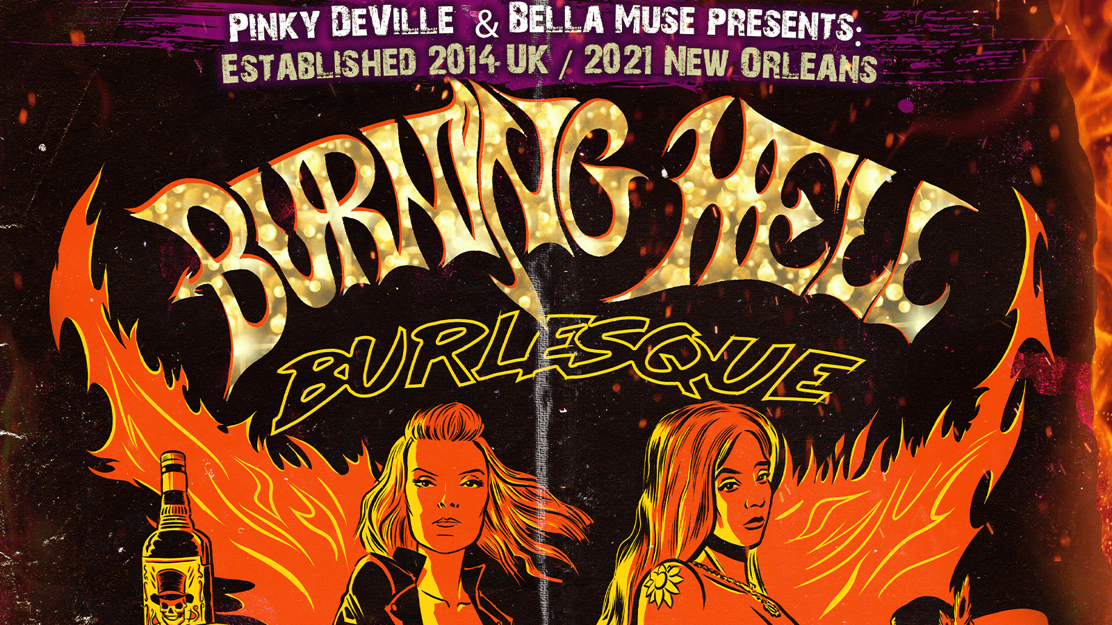
Burning Hell Burlesque: Halloween Edition
Corporation, 2 Milton Street, Sheffield S1 4JU
Sheffield’s resident rock and roll burlesque show takes over Corporation’s Big Room for a Halloween edition, produced by Bella Muse, with burlesque, pole and striptease from Bella Muse, Trixie Blue, Summer Sky, Ethereal Grave, Autumn Flame, Megan Phoenix and Deadly Red.
Getting there and what to expect
Weather
- Sunset 18:05, dark from 18:41 (Sunset and dusk computed for the venue)
Getting there
- Stops: Charter Row/Fitzwilliam Gate (MF1) (150 m); Charter Row/Fitzwilliam Gate (MF2) (155 m); Fitzwilliam Street/Wellington Street (opp) (158 m) (Stops: NaPTAN, Department for Transport (OGL v3); lines: bustimes.org / Bus Open Data (OGL v3))
- Sheffield Rail Station 930 m away, tram at West Street 380 m away (Stops: NaPTAN, Department for Transport (OGL v3); lines: bustimes.org / Bus Open Data (OGL v3))
- Parking: Atkinsons 180 m, 433 spaces (OpenStreetMap contributors (ODbL))
- Cycle parking 10 m, EV charger 350 m (OpenStreetMap contributors (ODbL))
- On the roads within 1 km: Road closed: Closed; Road closed: Closed; Road closed: Closed (Traffic: TomTom)
- About 8 min walk from the city centre (640 m, straight-line estimate) (Straight-line estimate at 5 km/h; streets are longer)
- Open on the main map with this event pinned (Sheffield Events live map)
- Can I get there and back? Put your postcode into the tool below for the last bus and tram, the walk home, and the car parks. (Timetables: Bus Open Data Service (Department for Transport). Contains public sector information licensed under the Open Government Licence v3.0.)
Around the venue
- Air quality within WHO guideline (PM2.5 1.4, PM10 2.9 µg/m³, sensor 1.6 km away) (Air quality: Sensor.Community (ODbL, indicative) and DEFRA UK-AIR (OGL v3))
- Defibrillator 180 m, toilets 250 m (OpenStreetMap contributors (ODbL))
- No storm overflow discharging within 1 km (Storm overflows: Yorkshire Water (CC BY 4.0))
What is on around it
- Darren Styles – Sheffield (17:00, 110 m away) (Sheffield Events listings)
- Oktoberfest: featuring The Käse Chiefs (18:00, 370 m away) (Sheffield Events listings)
- Heads Will Roll Sheffield Vol 4 (20:00, 380 m away) (Sheffield Events listings)
Can I get there and back
The last bus and tram, the walk, what is recorded about step-free access and the car parks.
- Nearest defibrillator Defibrillator 180 m away · 24/7
- Nearest toilets Toilets 250 m away · wheelchair accessible · free · Sheffield City Council
- Nearest cycle parking Cycle parking 10 m away · 4 spaces
- Nearest EV charger EV charger 350 m away · charge to use · Frankin Energy
Read about this area on Wikipedia
- Corporation (nightclub)
Corporation, often referred to as Corp by locals, is an independent live music venue and nightclub located in the city centre of Sheffield, England.
- S1 Artspace
- Heart of the City II
Heart of the City II is a mixed-use development under construction in Sheffield city centre, England between the Devonshire Quarter and The Moor Gateway.
- Taylor's Eye Witness Works
- Code Sheffield
Article titles and extracts from Wikipedia, CC BY-SA 4.0; each links to its article.
- N10 to Belgravia 13.7 km away, 14 min late
- 900 to Leeds City Centre 15.7 km away, 10 min early
- N11 to Aberdeen 17.2 km away, 4 min late
- N13 to Glasgow 25.9 km away, 5 min early
Around the same time
Staying over?
Make a night of it – find a place to stay near Corporation, 2 Milton Street, Sheffield S1 4JU.
- Premier Inn Sheffield City Centre (St Mary’s Gate) 382 m away
- Leonardo Hotel Sheffield 475 m away
- Leopold Hotel Sheffield 646 m away
- Mercure Sheffield St Paul’s Hotel and Spa 650 m away
- Novotel Sheffield Centre 660 m away
You might also like
Plan around this event Pub first? Food afterwards?
Build a little day or night out from the venue. Add a few stops, put them in order and check the walk.
Your event memories
Check in, add a photo and build your Sheffield journey.