27 October 2026 · 13:00 – 14:00
Hubble Bubble Toil and Trouble: Halloween Plants Tour
Clarkehouse Road, Sheffield S10 2LN
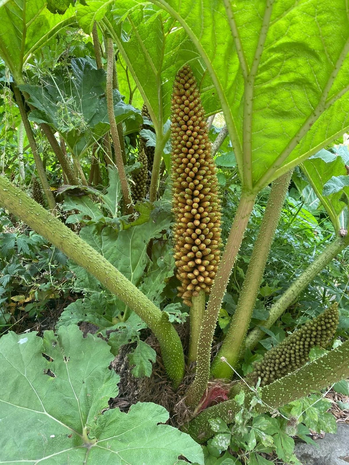
Halloween public tour of Sheffield Botanical Gardens looking at poisonous and magical plants, run by the Friends of the Botanical Gardens.
Getting there and what to expect
Weather
- No forecast yet for this date (Weather data from MET Norway, CC BY 4.0)
Getting there
- Stops: Clarkehouse Road/Rutland Park (O/S) (45 m); Clarkehouse Road/Ash Grove (adj) (167 m); Brocco Bank/Westbourne Road (adj) (214 m) (Stops: NaPTAN, Department for Transport (OGL v3); lines: bustimes.org / Bus Open Data (OGL v3))
- Sheffield Rail Station 2.4 km away, tram at Sheffield Uni 1.2 km away (Stops: NaPTAN, Department for Transport (OGL v3); lines: bustimes.org / Bus Open Data (OGL v3))
- Parking: Royal Hallamshire Hospital Multi-Storey Car Park 740 m (OpenStreetMap contributors (ODbL))
- Cycle parking 10 m, EV charger 610 m (EV Rapid Charger) (OpenStreetMap contributors (ODbL))
- About 25 min walk from the city centre (2.1 km, straight-line estimate) (Straight-line estimate at 5 km/h; streets are longer)
- Open on the main map with this event pinned (Sheffield Events live map)
- Can I get there and back? Put your postcode into the tool below for the last bus and tram, the walk home, and the car parks. (Timetables: Bus Open Data Service (Department for Transport). Contains public sector information licensed under the Open Government Licence v3.0.)
Around the venue
- Air quality within WHO guideline (PM2.5 2.7, PM10 5.1 µg/m³, sensor 800 m away) (Air quality: Sensor.Community (ODbL, indicative) and DEFRA UK-AIR (OGL v3))
- Defibrillator 330 m, toilets 20 m (OpenStreetMap contributors (ODbL))
- No storm overflow discharging within 1 km (Storm overflows: Yorkshire Water (CC BY 4.0))
Can I get there and back
The last bus and tram, the walk, what is recorded about step-free access and the car parks.
- Nearest defibrillator Defibrillator 330 m away · 24/7
- Nearest toilets Toilets 20 m away · free
- Nearest cycle parking Cycle parking 10 m away · 4 spaces
- Nearest EV charger EV Rapid Charger 610 m away · charge to use · Sheffield City Council
Read about this area on Wikipedia
- Sheffield Botanical Gardens
The Sheffield Botanical Gardens are Grade II listed botanical gardens situated off Ecclesall Road in Sheffield, England, with 5,000 species of plants in 19 acres (77,000 m2) of land.
- Sheffield High School, South Yorkshire
- Westbourne School
- King Edward VII School, Sheffield
King Edward VII School is a coeducational secondary school and sixth form located in Sheffield, South Yorkshire, England.
- Wesley College, Sheffield
Article titles and extracts from Wikipedia, CC BY-SA 4.0; each links to its article.
- 120 to Halfway 0.5 km away
- 88 to Ecclesfield 0.7 km away
- 52A to Loxley 0.7 km away
- 65 to Sheffield Centre 0.9 km away
Around the same time
You might also like
Your event memories
Check in, add a photo and build your Sheffield journey.