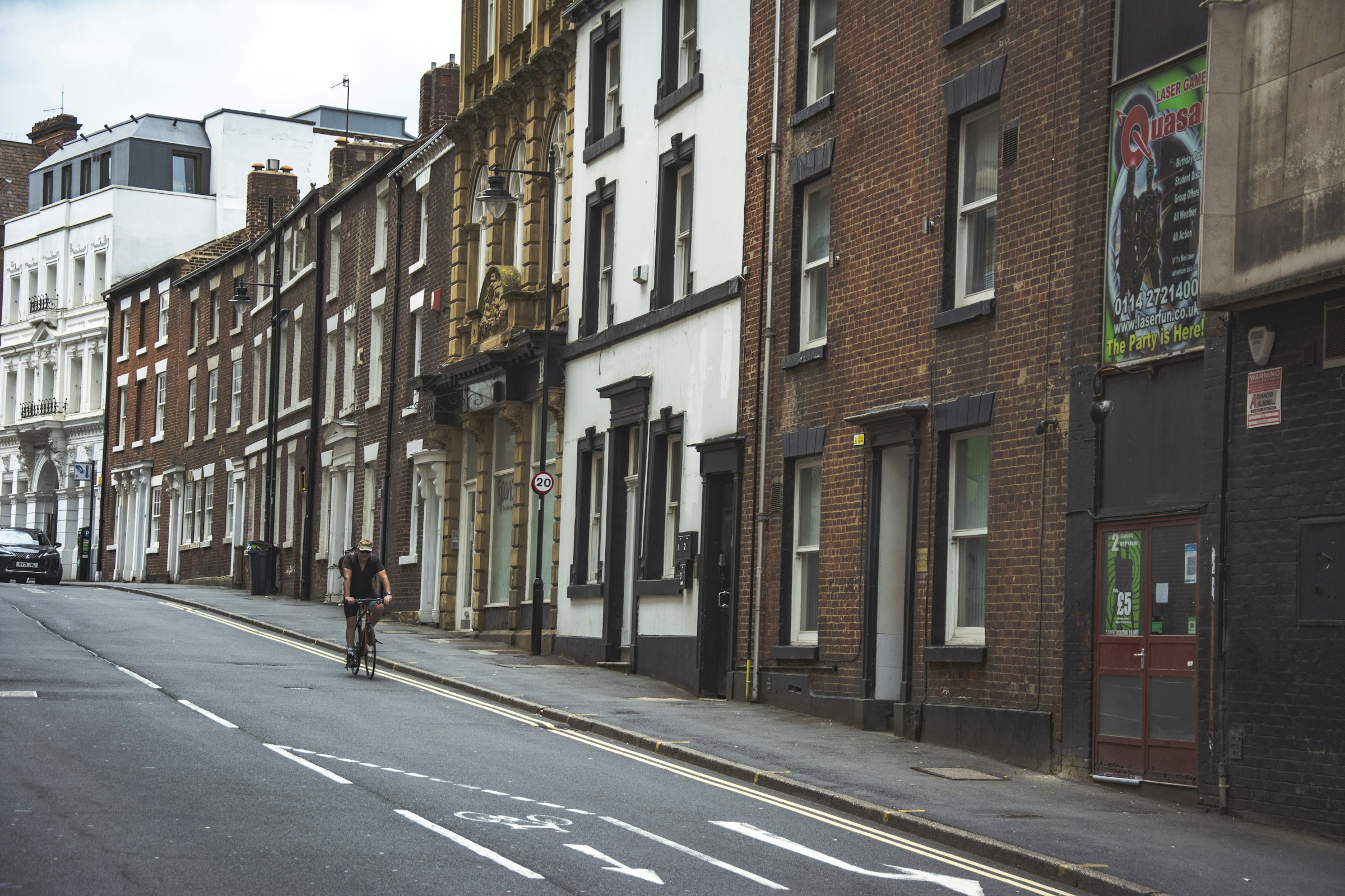
Illustrative photograph: Tak Kei Wong on Unsplash
5 November 2026 · 19:00 – 21:00
Play Sheffield: Monthly Gamedev Meetup
31-33 Orchard Square, Sheffield S1 2FB
Play Sheffield’s monthly game development meetup takes place downstairs at Sheffield Plate on Thursday 5 November, 7pm to 9pm. Register on the organiser’s Luma page before attending. From the main entrance, the stairs are on the left and the lift is straight ahead.
Getting there and what to expect
Weather
- No forecast yet for this date (Weather data from MET Norway, CC BY 4.0)
- Sunset 16:26, dark from 17:03 (Sunset and dusk computed for the venue)
Getting there
- Stops: Leopold Street/Orchard Lane (27633) (60 m); Church Street/High Street (HS5) (94 m); Cathedral (W Entrance) towards Middlewood/Malin Br (114 m) (Stops: NaPTAN, Department for Transport (OGL v3); lines: bustimes.org / Bus Open Data (OGL v3))
- Sheffield Rail Station 610 m away, tram at Cathedral 110 m away (Stops: NaPTAN, Department for Transport (OGL v3); lines: bustimes.org / Bus Open Data (OGL v3))
- Parking: NCP Campo Lane 150 m, 150 spaces (OpenStreetMap contributors (ODbL))
- Cycle parking 20 m, EV charger 240 m (Carver Lane Charge Point) (OpenStreetMap contributors (ODbL))
- On the roads within 1 km: Road closed: Closed; Road works B6073: Roadworks; Road works B6073: Roadworks (Traffic: TomTom)
- In the city centre (Straight-line estimate at 5 km/h; streets are longer)
- Open on the main map with this event pinned (Sheffield Events live map)
- Can I get there and back? Put your postcode into the tool below for the last bus and tram, the walk home, and the car parks. (Timetables: Bus Open Data Service (Department for Transport). Contains public sector information licensed under the Open Government Licence v3.0.)
Around the venue
- Air quality within WHO guideline (PM2.5 3.0, PM10 13.3 µg/m³, sensor 2.1 km away) (Air quality: Sensor.Community (ODbL, indicative) and DEFRA UK-AIR (OGL v3))
- Defibrillator 70 m, toilets 140 m (OpenStreetMap contributors (ODbL))
- Storm overflow discharging within 1 km into the River Don right now (Storm overflows: Yorkshire Water (CC BY 4.0))
What is on around it
- Property Deal Network Sheffield – Networking Event (19:00, 60 m away) (Sheffield Events listings)
- Sheffield Audio Tour: Iconic Heart (12:00, 80 m away) (Sheffield Events listings)
- The Music of Luther Vandross (18:30, 150 m away) (Sheffield Events listings)
Can I get there and back
The last bus and tram, the walk, what is recorded about step-free access and the car parks.
- Nearest defibrillator Defibrillator 70 m away · 24/7
- Nearest toilets Toilets 140 m away · free
- Nearest cycle parking Cycle parking 20 m away · 8 spaces · Orchard Square
- Nearest EV charger Carver Lane Charge Point 240 m away · charge to use · Sheffield City Council
Read about this area on Wikipedia
- Orchard Square
Orchard Square is a small open-air court shopping centre located in Sheffield, England.
- Diocese of Sheffield
The Diocese of Sheffield is an administrative division of the Church of England, part of the Province of York.
- Wheel of Sheffield
- Cutlers' Hall
Cutlers' Hall is a Grade II* listed building in Sheffield, England, that is the headquarters of the Company of Cutlers in Hallamshire.
- Fargate
Fargate is a pedestrian precinct and shopping area in Sheffield, England.
Article titles and extracts from Wikipedia, CC BY-SA 4.0; each links to its article.
- 95 to Walkley 0.3 km away, on time
- 52A to Woodhouse 0.3 km away, 1 min late
- 120 to Fulwood 0.4 km away, 2 min early
- 88 to Bents Green 0.4 km away, 11 min late
Around the same time
Staying over?
Make a night of it – find a place to stay near 31-33 Orchard Square, Sheffield S1 2FB.
- Leopold Hotel Sheffield 98 m away
- Mercure Sheffield St Paul’s Hotel and Spa 226 m away
- Cutlers Hotel Sheffield 228 m away
- Novotel Sheffield Centre 318 m away
- easyHotel Sheffield 374 m away
You might also like
Your event memories
Check in, add a photo and build your Sheffield journey.