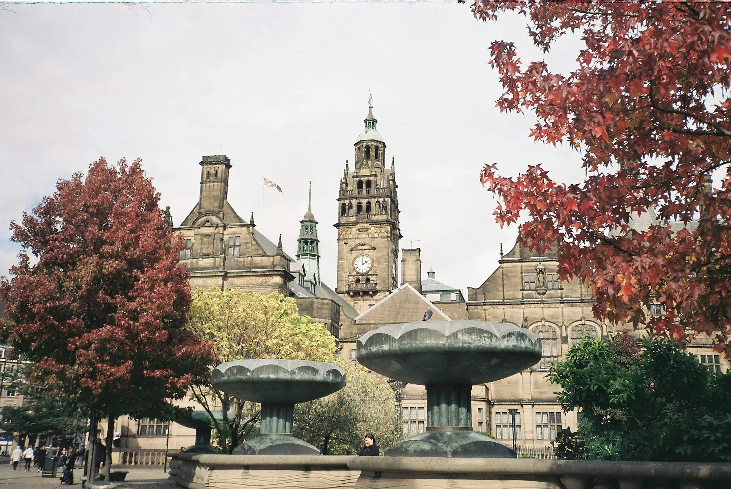
Illustrative photograph: Raygar He on Unsplash
13 November 2026 · 13:30 – 14:00
Pop in Police Station – Knit & Natter – Stubbin Tara
Fairthorn Road Firth Park
I will be available to speak with in relation to crime prevention advice, or any other police related concerns
Getting there and what to expect
Weather
- Forecast for 13:30: 6°C, clear skies, dry, wind now light, 7 mph (Weather data from MET Norway, CC BY 4.0)
- Rain radar updated 11:30, no rain forecast this hour at the venue (Rain radar: RainViewer API)
Getting there
- Stops: Monteney Road/Wordsworth Avenue (at) (22 m, 7 8 8A 784); Wordsworth Avenue/Monteney Road (adj) (62 m, 7 8 8A 83 784 785); Tunwell Avenue/Wordsworth Avenue (adj) (132 m, 83 785) (Stops: NaPTAN, Department for Transport (OGL v3); lines: bustimes.org / Bus Open Data (OGL v3))
- Heading this way now: 20 to Ecclesfield (1.4 km); 75 to Chapeltown (1.5 km); 1 to Jordanthorpe (1.9 km) (Live vehicles: bustimes.org relaying Bus Open Data (OGL v3))
- Cycle parking 160 m, EV charger 800 m (OpenStreetMap contributors (ODbL))
- About 76 min walk from the city centre (6.3 km, straight-line estimate) (Straight-line estimate at 5 km/h; streets are longer)
- Open on the main map with this event pinned (Sheffield Events live map)
- Can I get there and back? Put your postcode into the tool below for the last bus and tram, the walk home, and the car parks. (Timetables: Bus Open Data Service (Department for Transport). Contains public sector information licensed under the Open Government Licence v3.0.)
Around the venue
- Air quality very poor at DEFRA Barnsley Road (3.7 km away) (Air quality: Sensor.Community (ODbL, indicative) and DEFRA UK-AIR (OGL v3))
- Defibrillator 240 m, toilets 830 m (OpenStreetMap contributors (ODbL))
- No storm overflow discharging within 1 km (Storm overflows: Yorkshire Water (CC BY 4.0))
Can I get there and back
The last bus and tram, the walk, what is recorded about step-free access and the car parks.
- Nearest defibrillator Defibrillator 240 m away · 24/7
- Nearest toilets Toilets 830 m away · Morrisons
- Nearest cycle parking Cycle parking 160 m away · free · 2 spaces
- Nearest EV charger EV charger 800 m away
Read about this area on Wikipedia
- St Paul's Church, Wordsworth Avenue
- Ecclesfield
Ecclesfield is a village and civil parish in the City of Sheffield, South Yorkshire, England, approximately 6 miles (9 km) north of Sheffield City Centre.
- East Ecclesfield
East Ecclesfield ward-which includes the districts of Chapeltown and Ecclesfield-is one of the 28 electoral wards in City of Sheffield, England.
- Church of St Mary, Ecclesfield
- Ecclesfield Priory
Article titles and extracts from Wikipedia, CC BY-SA 4.0; each links to its article.
- 83 to Fulwood 0.3 km away, on time
- 88 to Ecclesfield 0.7 km away, 3 min late
- 88 to Ecclesfield 0.8 km away, 15 min late
- 75 to Jordanthorpe 0.8 km away, on time
Around the same time
You might also like
Your event memories
Check in, add a photo and build your Sheffield journey.