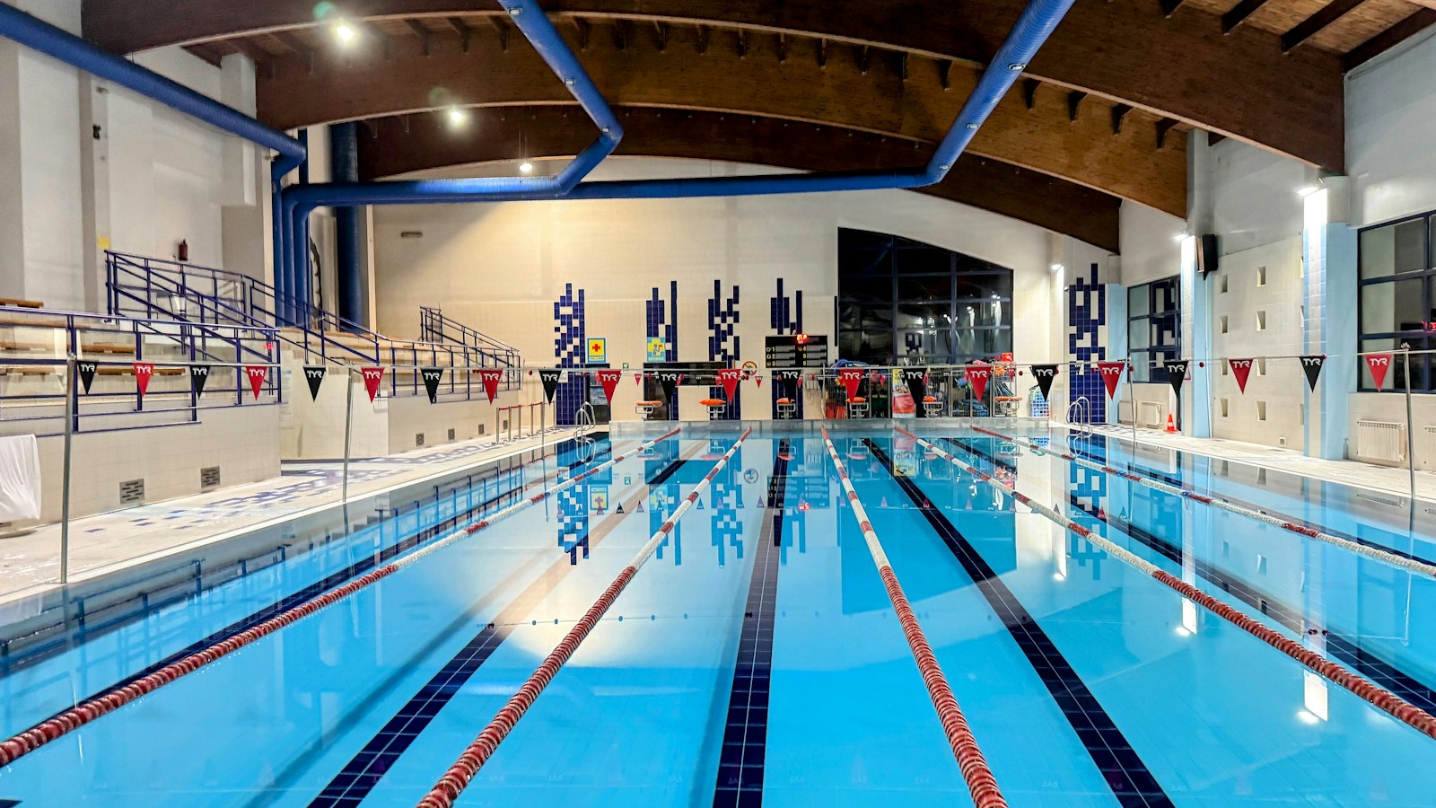
Illustrative photograph: Mariusz Smenzyk on Unsplash
23 October 2026 · 12:15 – 13:00
Lane Swim Fast
Beulah Road, Sheffield, S6 2AN
This session is in the Teaching Pool.Structured session for confident swimmers able to swim continuously in a lane.Fast Lane customer will swim majority of session front crawl and on average will complete 25 metres in under 30 secs. Run by Everyone Active. Book with Everyone Active; times and prices are theirs.
Getting there and what to expect
Weather
- No forecast yet for this date (Weather data from MET Norway, CC BY 4.0)
Getting there
- Stops: Penistone Road/Beulah Road (at) (85 m); Penistone Road/Parkside Road (at) (121 m); Penistone Road/Lowther Road (adj) (233 m) (Stops: NaPTAN, Department for Transport (OGL v3); lines: bustimes.org / Bus Open Data (OGL v3))
- Tram at Leppings Lane 590 m away (Stops: NaPTAN, Department for Transport (OGL v3); lines: bustimes.org / Bus Open Data (OGL v3))
- Parking: Morrisons 740 m (OpenStreetMap contributors (ODbL))
- Cycle parking 50 m, EV charger 360 m (OpenStreetMap contributors (ODbL))
- On the roads within 1 km: Road closed: Closed; Road closed: Closed (Traffic: TomTom)
- About 41 min walk from the city centre (3.4 km, straight-line estimate) (Straight-line estimate at 5 km/h; streets are longer)
- Open on the main map with this event pinned (Sheffield Events live map)
- Can I get there and back? Put your postcode into the tool below for the last bus and tram, the walk home, and the car parks. (Timetables: Bus Open Data Service (Department for Transport). Contains public sector information licensed under the Open Government Licence v3.0.)
Around the venue
- Air quality within WHO guideline (PM2.5 1.4, PM10 4.1 µg/m³, sensor 1.0 km away) (Air quality: Sensor.Community (ODbL, indicative) and DEFRA UK-AIR (OGL v3))
- Defibrillator 50 m, toilets 470 m (OpenStreetMap contributors (ODbL))
- No storm overflow discharging within 1 km (Storm overflows: Yorkshire Water (CC BY 4.0))
What is on around it
- Lane Swim Slow (12:15, 50 m away) (Sheffield Events listings)
- Lane Swim Med (12:15, 50 m away) (Sheffield Events listings)
Can I get there and back
The last bus and tram, the walk, what is recorded about step-free access and the car parks.
- Nearest defibrillator Defibrillator 50 m away
- Nearest toilets Toilets 470 m away · wheelchair accessible
- Nearest cycle parking Cycle parking 50 m away · 10 spaces
- Nearest EV charger EV charger 360 m away · Zest
Read about this area on Wikipedia
- Sheffield Assay Office
The Sheffield Assay Office is one of the four remaining assay offices in the United Kingdom, the other three being in London, Birmingham, and Edinburgh.
- Burrowlee House
- Owlerton Stadium
- Hillsborough (ward)
Hillsborough is an electoral ward which includes the districts of Malin Bridge, Owlerton, Wadsley and Wisewood.
- Owlerton
Owlerton () is a suburb of the city of Sheffield, England, 2.2 miles (3.5 km) northwest of the city centre near the confluence of the River Don and River Loxley.
Article titles and extracts from Wikipedia, CC BY-SA 4.0; each links to its article.
- 52 to Woodhouse 0.8 km away, 7 min early
- 61 to Hillsborough 0.9 km away, 3 min late
- 98 to Hillsborough 1.0 km away
- 18A to Hillsborough 1.0 km away, 7 min late
Around the same time
Also at Beulah Road, Sheffield, S6 2AN
You might also like
Your event memories
Check in, add a photo and build your Sheffield journey.