14 September 2026 · 12:00 – 14:00
They Lived in Castlegate: guided history walk with Simon Ogden
Meet at Lady's Bridge, Sheffield, S3 8GG
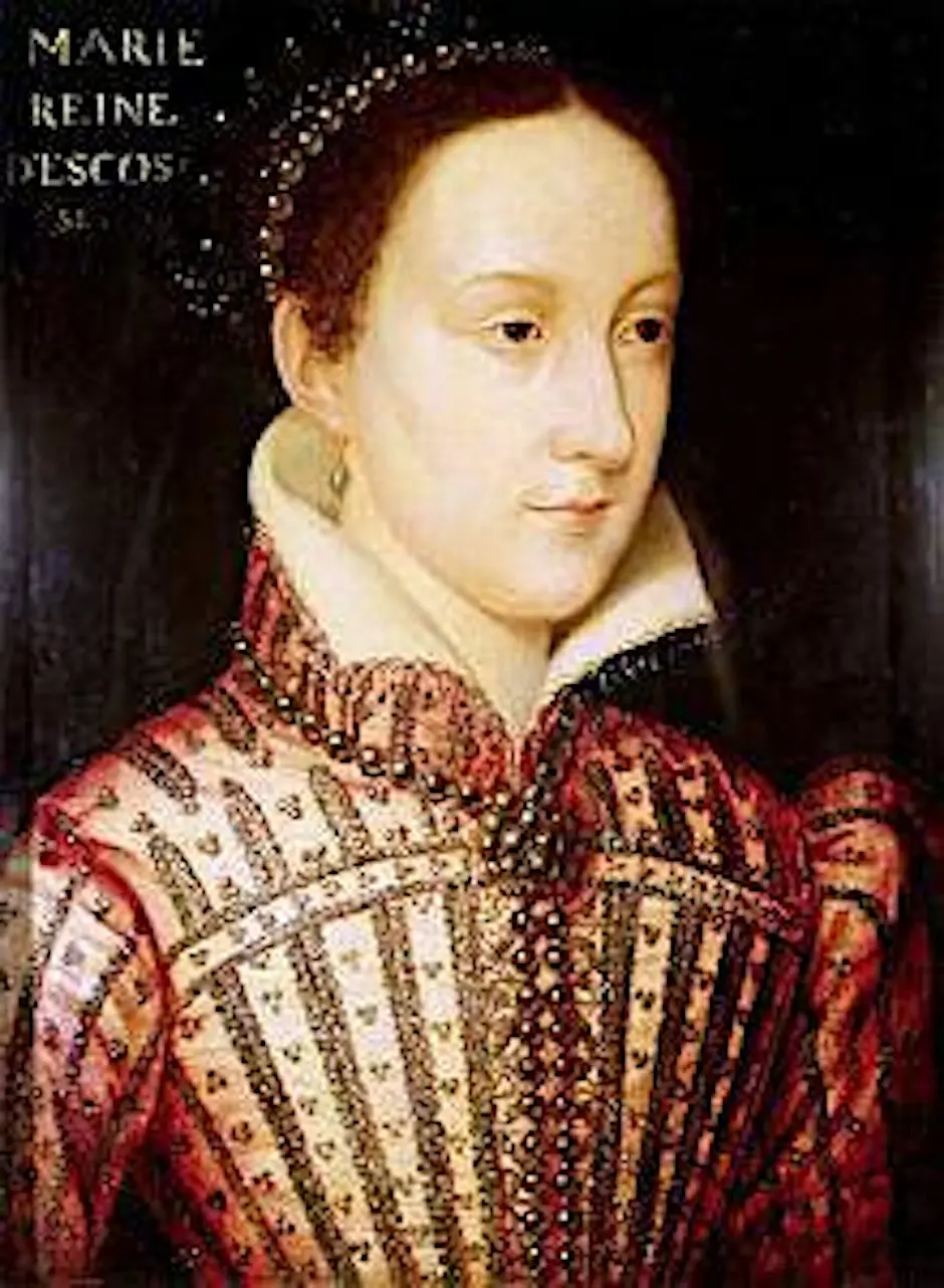
Two hours in the company of Castlegate’s former residents, from Mary Stewart, history’s most famous asylum seeker, to the Victorian criminal Charlie Peace and the industrial giantess Ella Hudson Gaskin. Meet at Lady’s Bridge. Free, book via Eventbrite.
Part of Castlegate Festival 2026 (12 to 20 September), the free celebration of heritage, arts, music and markets in Sheffield’s oldest quarter, organised by Sheffield City Council and Sheffield BID. Full programme (PDF).
Getting there and what to expect
Getting there
- Stops: Nursery Street/Spitalfields (adj) (35 m); Nursery Street/Johnson Street (adj) (58 m); Millsands/Bridge Street (opp) (155 m) (Stops: NaPTAN, Department for Transport (OGL v3); lines: bustimes.org / Bus Open Data (OGL v3))
- Sheffield Rail Station 1.1 km away, tram at Castle Square 590 m away (Stops: NaPTAN, Department for Transport (OGL v3); lines: bustimes.org / Bus Open Data (OGL v3))
- Parking: Riverside 210 m (OpenStreetMap contributors (ODbL))
- Cycle parking 30 m, EV charger 360 m (OpenStreetMap contributors (ODbL))
- About 11 min walk from the city centre (860 m, straight-line estimate) (Straight-line estimate at 5 km/h; streets are longer)
- Open on the main map with this event pinned (Sheffield Events live map)
- Can I get there and back? Put your postcode into the tool below for the last bus and tram, the walk home, and the car parks. (Timetables: Bus Open Data Service (Department for Transport). Contains public sector information licensed under the Open Government Licence v3.0.)
Around the venue
- Air quality within WHO guideline (PM2.5 1.3, PM10 1.4 µg/m³, sensor 2.6 km away) (Air quality: Sensor.Community (ODbL, indicative) and DEFRA UK-AIR (OGL v3))
- Defibrillator 180 m, toilets 430 m (OpenStreetMap contributors (ODbL))
- No storm overflow discharging within 1 km (Storm overflows: Yorkshire Water (CC BY 4.0))
Can I get there and back
The last bus and tram, the walk, what is recorded about step-free access and the car parks.
- Nearest defibrillator Defibrillator 180 m away · Mo-Su 06:00-23:00
- Nearest toilets Toilets 430 m away · free
- Nearest cycle parking Cycle parking 30 m away · 8 spaces
- Nearest EV charger EV charger 360 m away
Read about this area on Wikipedia
- Great Sheffield Flood
The Great Sheffield Flood was a flood that devastated parts of Sheffield, England, on 11 March 1864, when the Dale Dyke Dam broke as its reservoir was being filled for the first time.
- Bridgehouses railway station
Bridgehouses railway station was the terminal station of the Sheffield, Ashton-under-Lyne and Manchester Railway from its opening in 1845 until the opening of the Wicker Arches, a 660-yard (600 m) long viaduct across the Don Valley, which supported the new Sheffield Victoria opened on 15 September 1851.
- Riverside Quarter
The Riverside Quarter, or Riverside Exchange is one of Sheffield's 11 designated City Centre Quarters.
- West Bar Quarter
- The Wicker
Article titles and extracts from Wikipedia, CC BY-SA 4.0; each links to its article.
- 88 to Bents Green 0.3 km away, 1 min early
- 207 to Sheffield Centre 0.3 km away, 8 min late
- X3 to Sheffield Centre 0.3 km away, 1 min early
- 52A to Hillsborough 0.3 km away, 4 min late
Around the same time
You might also like
Your event memories
Check in, add a photo and build your Sheffield journey.