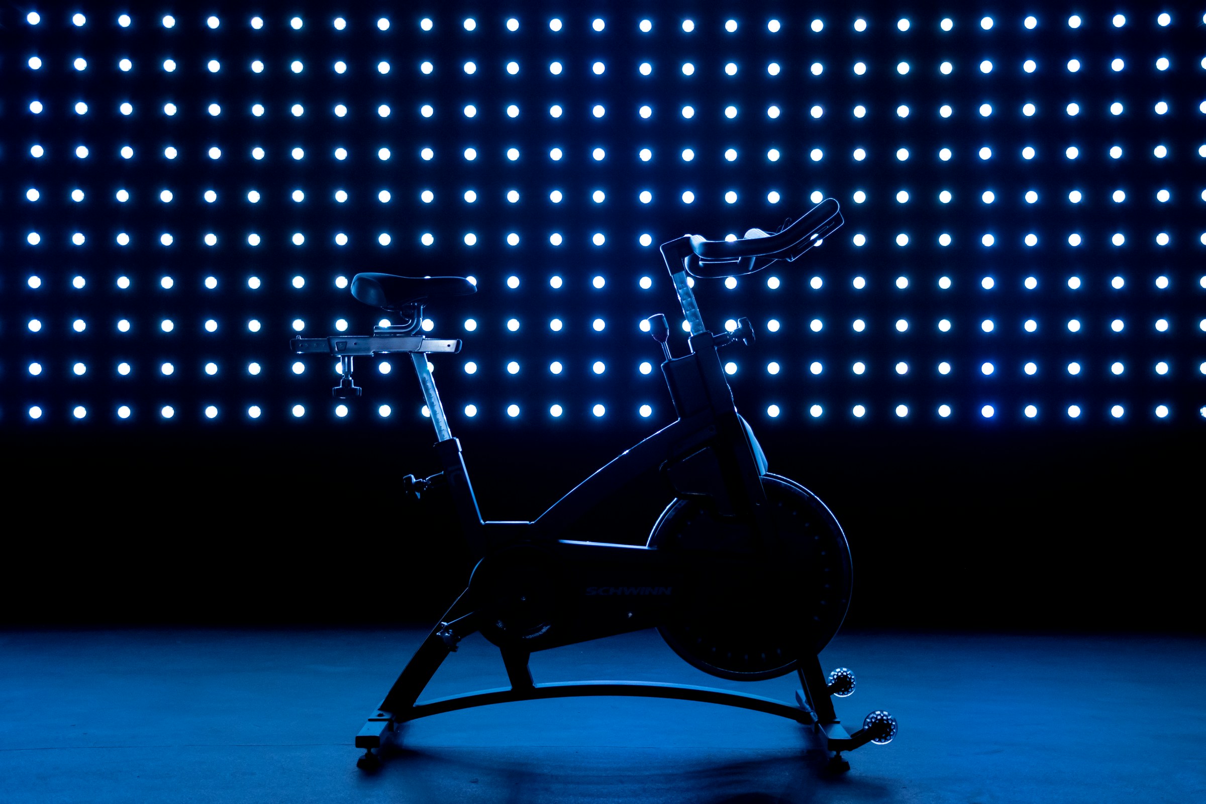
Illustrative photograph: Gastro Editorial on Unsplash
15 October 2026 · 06:15 – 07:00
Group Cycle
Coleridge Road, Sheffield, S9 5DA
On yer bike! Calorie killing at it’s best without the stress of any complicated moves. Great music, motivational instructors and a chance to burn up to 450 calories per half hour will complete your journey to calorie burning heaven. Run by Everyone Active. Book with Everyone Active; times and prices are theirs.
Getting there and what to expect
Weather
- No forecast available yet (Weather data from MET Norway, CC BY 4.0)
- Sunset 18:10, dark from 18:45 (Sunset and dusk computed for the venue)
Getting there
- Stops: Attercliffe Common/Terry Street (adj) (127 m); Attercliffe Common/Amberley Street (adj) (210 m); Attercliffe Road/Fell Road (at) (217 m) (Stops: NaPTAN, Department for Transport (OGL v3); lines: bustimes.org / Bus Open Data (OGL v3))
- Darnall Rail Station 1.8 km away, tram at Arena/ Legacy Park 250 m away (Stops: NaPTAN, Department for Transport (OGL v3); lines: bustimes.org / Bus Open Data (OGL v3))
- Cycle parking 20 m, EV charger 880 m (Ionity Sheffield) (OpenStreetMap contributors (ODbL))
- About 44 min walk from the city centre (3.6 km, straight-line estimate) (Straight-line estimate at 5 km/h; streets are longer)
- Open on the main map with this event pinned (Sheffield Events live map)
- Can I get there and back? Put your postcode into the tool below for the last bus and tram, the walk home, and the car parks. (Timetables: Bus Open Data Service (Department for Transport). Contains public sector information licensed under the Open Government Licence v3.0.)
Around the venue
- Defibrillator 10 m, toilets 20 m (OpenStreetMap contributors (ODbL))
- No storm overflow discharging within 1 km (Storm overflows: Yorkshire Water (CC BY 4.0))
Can I get there and back
The last bus and tram, the walk, what is recorded about step-free access and the car parks.
- Nearest defibrillator Defibrillator 10 m away
- Nearest toilets Toilets 20 m away · free
- Nearest cycle parking Cycle parking 20 m away · 20 spaces
- Nearest EV charger Ionity Sheffield 880 m away · 24/7 · charge to use · Ionity
Read about this area on Wikipedia
- English Institute of Sport, Sheffield
The English Institute of Sport is a multi-sport facility in Sheffield, South Yorkshire, England.
- IceSheffield
iceSheffield is an ice arena in the Lower Don Valley, Sheffield, England.
- Attercliffe Chapel
Attercliffe Chapel, also known as the Hill Top Chapel, is a Gothic chapel in Attercliffe, now a suburb of Sheffield, South Yorkshire, England.
- UTC Sheffield Olympic Legacy Park
- Olympic Legacy Park
Article titles and extracts from Wikipedia, CC BY-SA 4.0; each links to its article.
- X1 to Sheffield Centre 0.7 km away, 5 min late
- 52 to Woodhouse 1.8 km away, on time
- 83 to Sheffield Centre 3.2 km away, 4 min early
- 47 to Highfield 3.5 km away, on time
Around the same time
Also at Coleridge Road, Sheffield, S9 5DA
You might also like
Your event memories
Check in, add a photo and build your Sheffield journey.