12 September 2026 · 12:00 – 16:30
Harmony Works at Canada House: the plans, the photos, the Memory Cafe
Canada House, 11-15 Commercial Street, Sheffield, S1 2AT
A last look inside Canada House before it closes for the refurbishment that turns it into Harmony Works, the city’s new home for young musicians. View the plans, a photography exhibition and the Memory Cafe; drop in, no booking needed.
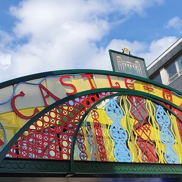
Part of Castlegate Festival 2026 (12 to 20 September), the free celebration of heritage, arts, music and markets in Sheffield’s oldest quarter, organised by Sheffield City Council and Sheffield BID. Full programme (PDF).
Getting there and what to expect
Getting there
- Stops: Fitzalan Square (East Entrance) towards Mdwhall-Halfwy (14 m); Fitzalan Square (East Entrance) towards Mwood-Malin Br (20 m); Commercial Street (CG2) (32 m) (Stops: NaPTAN, Department for Transport (OGL v3); lines: bustimes.org / Bus Open Data (OGL v3))
- Sheffield Rail Station 550 m away, tram at Fitzalan Square 10 m away (Stops: NaPTAN, Department for Transport (OGL v3); lines: bustimes.org / Bus Open Data (OGL v3))
- Parking: Castlegate 130 m, 403 spaces (OpenStreetMap contributors (ODbL))
- Cycle parking 70 m, EV charger 380 m (OpenStreetMap contributors (ODbL))
- On the roads within 1 km: Road closed: Closed; Road works B6073: Roadworks; Road closed: Closed (Traffic: TomTom)
- About 7 min walk from the city centre (500 m, straight-line estimate) (Straight-line estimate at 5 km/h; streets are longer)
- Open on the main map with this event pinned (Sheffield Events live map)
- Can I get there and back? Put your postcode into the tool below for the last bus and tram, the walk home, and the car parks. (Timetables: Bus Open Data Service (Department for Transport). Contains public sector information licensed under the Open Government Licence v3.0.)
Around the venue
- Air quality within WHO guideline (PM2.5 1.9, PM10 8.9 µg/m³, sensor 2.4 km away) (Air quality: Sensor.Community (ODbL, indicative) and DEFRA UK-AIR (OGL v3))
- Defibrillator 80 m, toilets 130 m (OpenStreetMap contributors (ODbL))
- No storm overflow discharging within 1 km (Storm overflows: Yorkshire Water (CC BY 4.0))
What is on around it
- Reinventing no.2 Haymarket: S1 Artspace at Canada House (12:00, 10 m away) (Sheffield Events listings)
- Get Crafty with Arts in the Right Place (13:00, 60 m away) (Sheffield Events listings)
- Seeds that Travel: foraging and image-making with Al-Wah’at (12:00, 150 m away) (Sheffield Events listings)
Can I get there and back
The last bus and tram, the walk, what is recorded about step-free access and the car parks.
- Nearest defibrillator Defibrillator 80 m away
- Nearest toilets Toilets 130 m away · free
- Nearest cycle parking Cycle parking 70 m away · 4 spaces · Sheffield City Council
- Nearest EV charger EV charger 380 m away
Read about this area on Wikipedia
- Canada House, Sheffield
- 2 Haymarket
- Haymarket, Sheffield
- Fitzalan Square
Fitzalan Square is a municipal square situated in the city centre of Sheffield in South Yorkshire, England.
- Diocese of Hallam
The Diocese of Hallam (Latin: Dioecesis Hallamensis) is a Latin Church ecclesiastical territory or diocese of the Catholic Church in England.
Article titles and extracts from Wikipedia, CC BY-SA 4.0; each links to its article.
- 7 to Crystal Peaks 0.1 km away, 6 min late
- 207 to Sheffield Centre 0.1 km away, 13 min late
- X3 to Sheffield Centre 0.1 km away, 1 min late
- 120 to Halfway 0.2 km away, on time
Around the same time
You might also like
Your event memories
Check in, add a photo and build your Sheffield journey.