20 October 2026 · 19:30
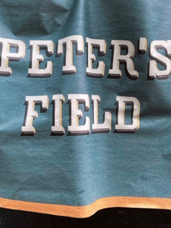
Peter’s Field: An Evening of Stories & Songs with Sean Cooney
Sheffield General Cemetery, Cemetery Road, Sheffield S11 8NT
Award-winning folk singer Sean Cooney (of The Young’uns) brings Peter’s Field to the Samuel Worth Chapel: songs, readings and discussion telling the story of the Peterloo Massacre of 16 August 1819, one of the most important days in working-class history. A volunteer-led fundraiser, with all proceeds going to Sheffield General Cemetery Trust. Doors 7pm, starts 7.30pm, £10 plus booking fee. The chapel is fully accessible and has a licensed bar.
Getting there and what to expect
Weather
- No forecast yet for this date (Weather data from MET Norway, CC BY 4.0)
- Sunset 17:59, dark from 18:34 (Sunset and dusk computed for the venue)
Getting there
- Stops: Ecclesall Road/Denham Road (adj) (98 m); Ecclesall Road/Thompson Road (adj) (165 m); Ecclesall Road/Collegiate Crescent (adj) (183 m) (Stops: NaPTAN, Department for Transport (OGL v3); lines: bustimes.org / Bus Open Data (OGL v3))
- Sheffield Rail Station 2.1 km away, tram at Sheffield Uni 1.3 km away (Stops: NaPTAN, Department for Transport (OGL v3); lines: bustimes.org / Bus Open Data (OGL v3))
- Parking: Car park 320 m (OpenStreetMap contributors (ODbL))
- Cycle parking 80 m, EV charger 940 m (LifeEV) (OpenStreetMap contributors (ODbL))
- About 23 min walk from the city centre (1.8 km, straight-line estimate) (Straight-line estimate at 5 km/h; streets are longer)
- Open on the main map with this event pinned (Sheffield Events live map)
- Can I get there and back? Put your postcode into the tool below for the last bus and tram, the walk home, and the car parks. (Timetables: Bus Open Data Service (Department for Transport). Contains public sector information licensed under the Open Government Licence v3.0.)
Around the venue
- Air quality within WHO guideline (PM2.5 1.6, PM10 3.6 µg/m³, sensor 650 m away) (Air quality: Sensor.Community (ODbL, indicative) and DEFRA UK-AIR (OGL v3))
- Defibrillator 100 m, toilets 350 m (OpenStreetMap contributors (ODbL))
- No storm overflow discharging within 1 km (Storm overflows: Yorkshire Water (CC BY 4.0))
What is on around it
- Hallowearly: Open Mic Stories in a Graveyard (19:30, 10 m away) (Sheffield Events listings)
Can I get there and back
The last bus and tram, the walk, what is recorded about step-free access and the car parks.
- Nearest defibrillator Defibrillator 100 m away · 24/7
- Nearest toilets Toilets 350 m away · wheelchair accessible · free
- Nearest cycle parking Cycle parking 80 m away · 2 spaces
- Nearest EV charger LifeEV 940 m away
Read about this area on Wikipedia
- Sharrow Mills
- Wilsons of Sharrow
- Sheffield General Cemetery
The General Cemetery in the City of Sheffield, England, opened in 1836 and closed for burial in 1978.
- Sharrow
Sharrow is a suburb of Sheffield located directly southwest of Sheffield city centre.
- Sheffield Botanical Gardens
The Sheffield Botanical Gardens are Grade II listed botanical gardens situated off Ecclesall Road in Sheffield, England, with 5,000 species of plants in 19 acres (77,000 m2) of land.
Article titles and extracts from Wikipedia, CC BY-SA 4.0; each links to its article.
- 81 to Dore 0.2 km away, 4 min late
- 88 to Bents Green 0.4 km away, on time
- 10 to Manor Top 0.8 km away, 17 min late
- 10A to Manor Top 0.8 km away, 12 min late
Around the same time
Staying over?
Make a night of it – find a place to stay near Sheffield General Cemetery, Cemetery Road, Sheffield S11 8NT.
- Beech House Hotel Sheffield 252 m away
- Mercure Sheffield Kenwood Hall Hotel and Spa 617 m away
- Brocco on the Park 785 m away
- The Rutland Hotel 858 m away
- Halifax Hall Hotel 954 m away
You might also like
Your event memories
Check in, add a photo and build your Sheffield journey.